Utility Mapping Services
Utility Mapping Services
Underground utility mapping technology is used for residential, commercial, and civil applications of all sizes.


About Utility Mapping Services
Utility Locating
Accurate Mapping Information
Vacuum Excavation Investigation
AirX provides a very detailed report for vacuum excavation activities when potholing but we can also provide thorough and accurate mapping of underground utilities based on points identified through our locating services if needed.
Why Choose AirX for Utility Locating
Importance of Utility Locating
The use of utility locating, combined with mapping and vacuum excavation in the beginning of a project will streamline the entire project saving time and money. You will have fewer delays and construction changes and ensure safety throughout the project.
From new apartment building complexes to highway construction and utility underground projects; having the ability to identify, locate, and protect existing, underground facilities is a crucial part of all excavation from the planning phase to actual construction to post construction (as builts), it is absolutely vital to utilize this technology.
Commitment to Standards of Excellence
In fact, doing thorough studies of underground utilities during the design phase has been proven to save substantial amounts of money during construction.
Our team’s years of experience and commitment to the highest standards of excellence are truly what set us apart from the competition. Regardless of the size of the job, we’ll do it right the first time – and keep your project on track, on budget, and safe for everyone involved.

How Our Locating Methods Work
Critical utilities, including gas lines, electrical and telephone lines, cable, sewer and water pipes – to name just a few are all underground utilities. Locating these utilities accurately before beginning construction is absolutely vital.
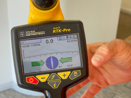
EMI (Electromagnetic Induction) Technology
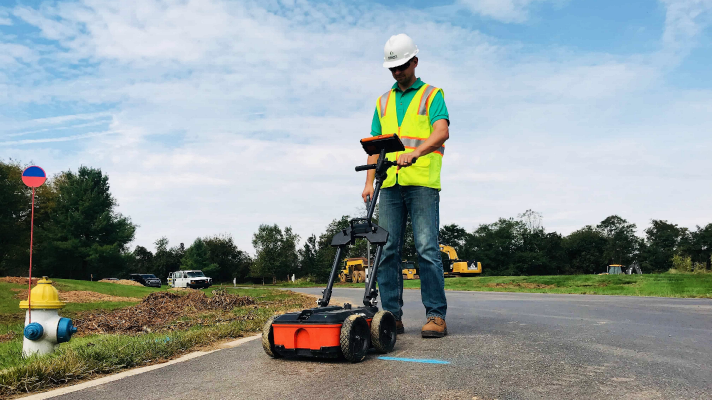
GPR (Ground Penetrating Radar)
CCTV (Closed Circuit Television)
What to Expect When You Work with Us
Innovators in the Industry with Comprehensive Services
Committed to Safety & Sustainability
FAQs
What is the history of Subsurface Utility Engineering - (SUE) services?
- Quality Level D (QL-D) is the most basic level of information for utility locations. It comes from existing utility records or verbal recollections. QL-D is useful primarily for project planning and route selection.
- Quality Level C (QL-C) involves surveying visible above ground utility facilities (e.g., manholes, valve boxes, pedestals, etc.) and correlating this information with existing records (QL-D) information.
- Quality Level B (QL-B) is the application of appropriate non-invasive, surface geophysical methods (utility locating) to determine the existence and horizontal locations of virtually all subsurface utilities within a project limits. This data is generally marked out on site and is picked up by survey for use in base maps.
- Quality Level A (QL-A) also known as daylighting or potholing is the highest level of accuracy presently available. It provides information for the precise plan and profile mapping of underground utilities through the actual exposure of utilities (usually at a specific point), and can also provide the type, size, condition, material and other characteristics of facility features. Exposure is typically achieved through hand digging or with Vacuum Excavation.
